Category: Maps of Finn Hill & Kirkland
News and Highlights

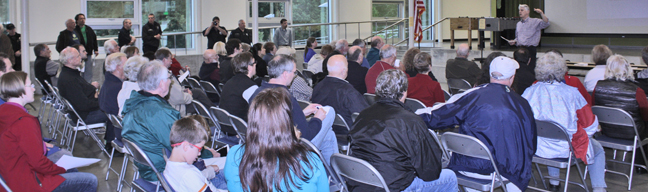
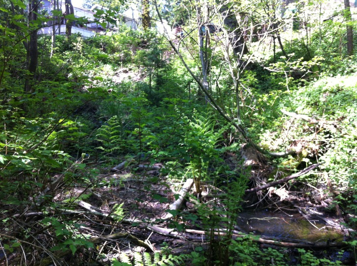
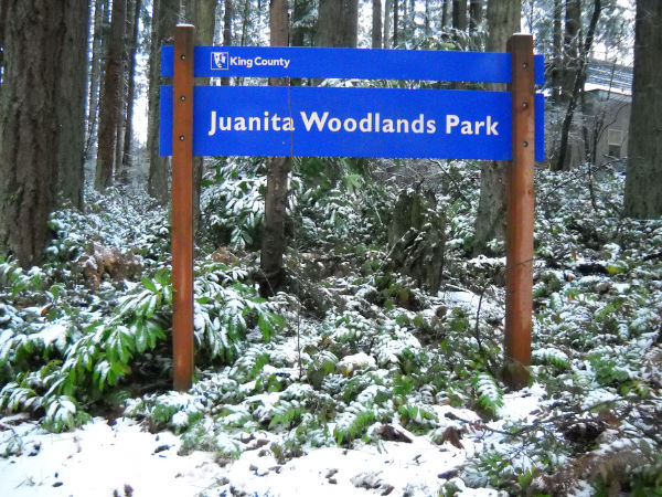
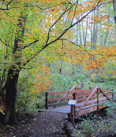
Future of Big Finn Hill Park Trails
If you walk or bike through Big Finn Hill Park you need to come to Wednesday’s meeting, March 12,...
Read More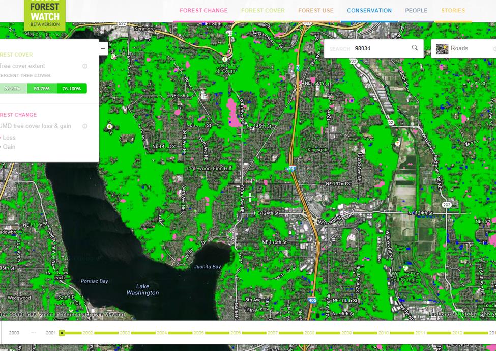
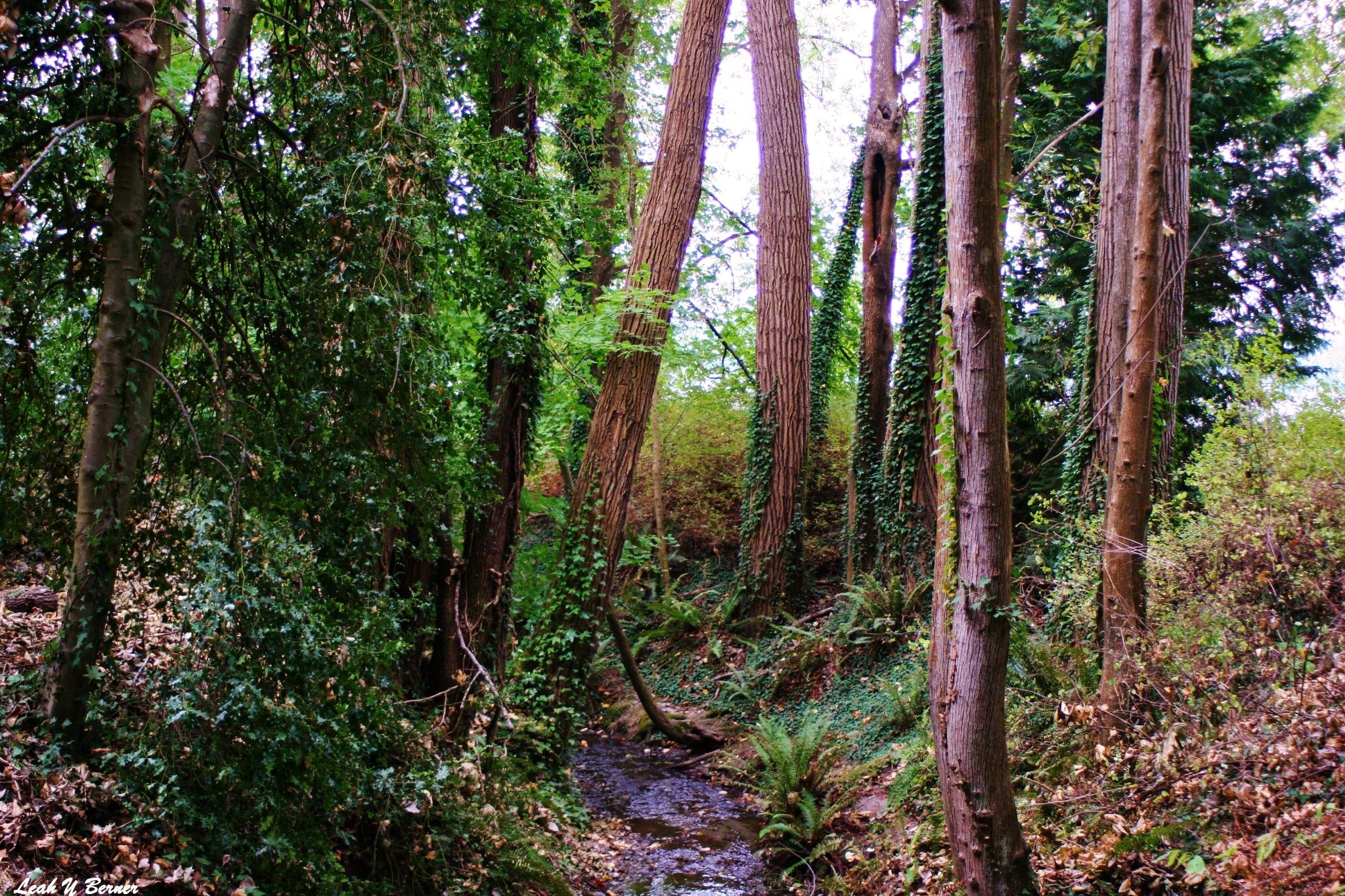
Tracking Forest Changes on Finn Hill
Find out the tree cover loss and gain on Finn Hill. A free, online system by Global Forest...
Read More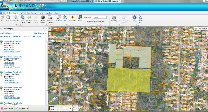
New Public Map Portal Queries Many Data Layers
There is a new City of Kirkland map portal. Quoted from the site….”Kirkland Maps is a public...
Read MoreFinn Hill Boundary & Property Maps
Finn Hill Boundary Map shows streets, parks, schools, water bodies, and city limits. This is a good map to see how few parks there are East of 84th Ave NE and North 132nd St. Kirkland Neighborhood Parks Gap Analysis Map...
Read More
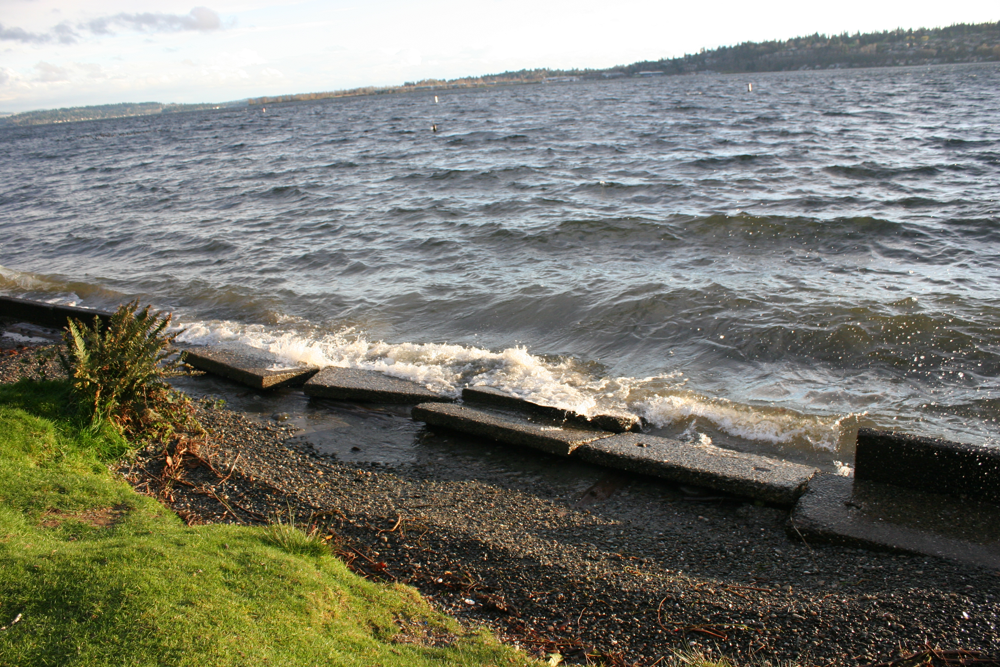
Holmes Point Road Photos
Map and Photo of Holmes Point 1936 —- Map and Photo of Holmes Point...
Read More
Maps of Finn Hill & Kirkland
Popular
Future of Big Finn Hill Park Trails
If you walk or bike through Big Finn Hill Park you need to come to Wednesday’s meeting, March 12,...


All
Popular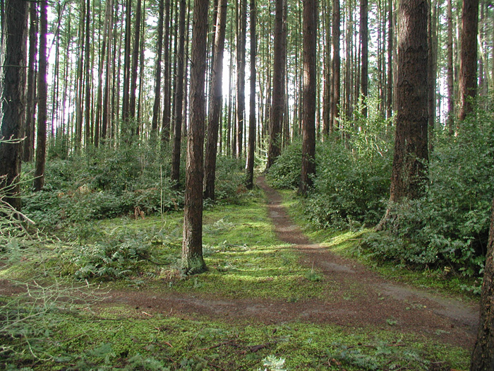
Your Valentine Questionnaire
Dear Finn Hill neighbors and friends: The Finn Hill Neighborhood Alliance (FHNA) is kicking off a...